
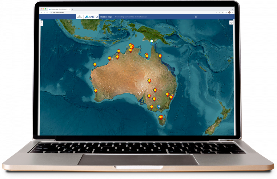
This interactive tool highlights cultural heritage and other research projects from the last decade in which ANSTO has made a contribution.
Many of the projects feature the use of nuclear techniques to verify the great antiquity of Indigenous cultural heritage across Australia at historic sites and other areas, such as the Kimberley and Kakadu. it includes the World Heritage cultural site, Budj Bim, an example of one of the world's earliest organised aquaculture developments.
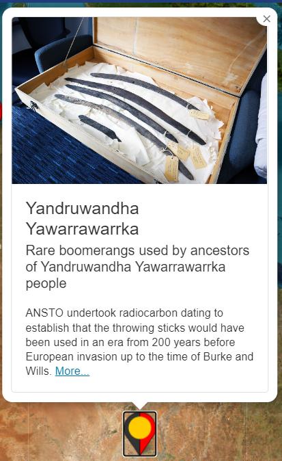
The map will provide a brief description of the project, the Indigenous cultural group and its coordinates and link to content shared on the ANSTO website.
The map was developed by Brett Rowling, Camerson Rodda and Susan Bogle at ANSTO